
Recently Completed Projects
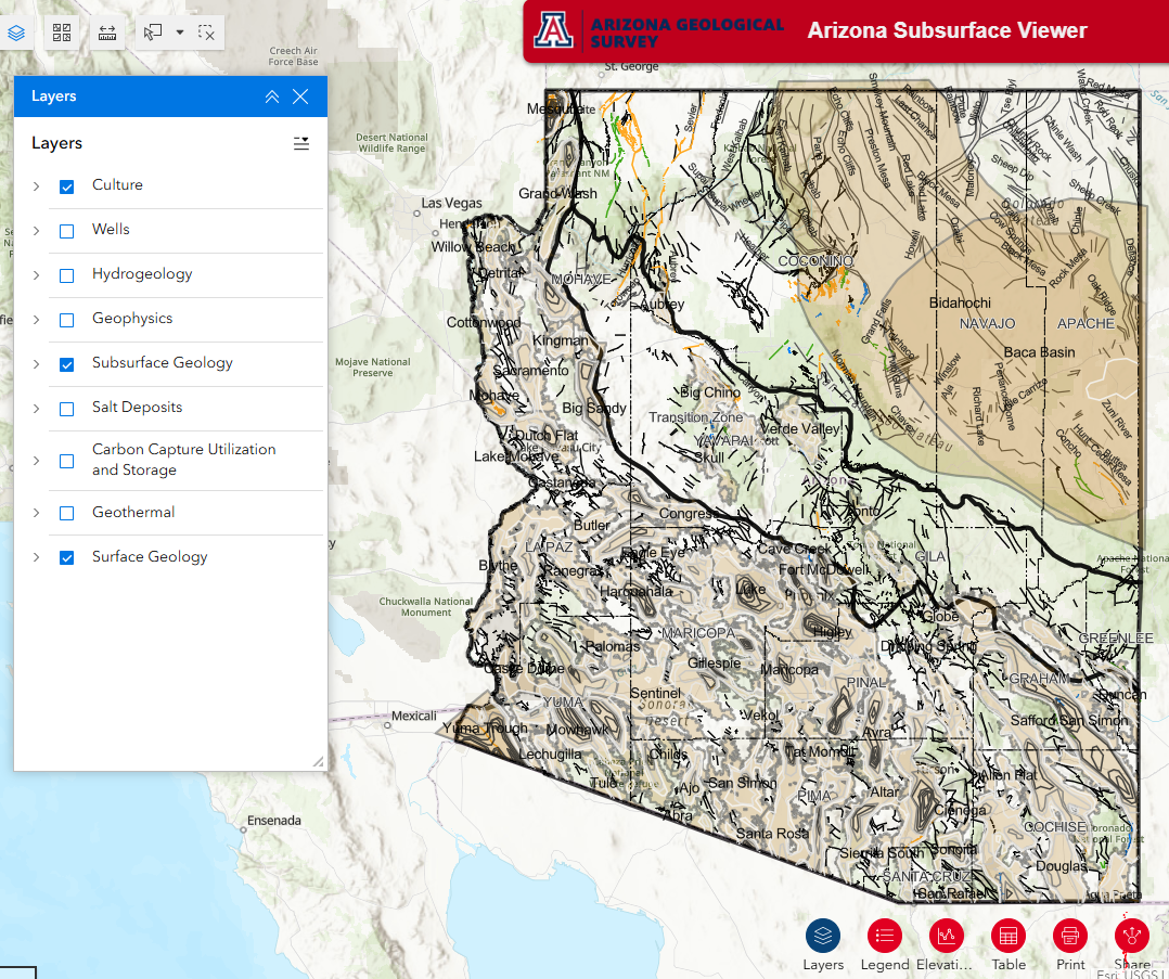 Arizona Subsurface Web Viewer
Description: The Arizona Geological Survey (AZGS) Arizona Subsurface Viewer web map application provides data and information about Arizona's natural resources in the subsurface. This interactive map has over 40 unique layers of geology related data to explore, and many are available to download.
Location: State-wide
Date: Version 1 live on 8/20/2025
Link: Web Map
 Pre-feasibility Study of the Harquahala Basin for Subsurface CO2 Storage
Description: This study evaluated the basin geometry, structure, and stratigraphic architecture of Harquahala basin and provided site characterization for future potential subsurface CO2 and H2 storage. This was achieved through the integration of both public and proprietary datasets including geologic maps, well data, vintage 2D seismic, and gravity information.
Location: Harquahala Valley, La Paz and Maricopa Counties, AZ
Collaborators: Kurt Constenius
Start & end dates: January 1, 2022 – April 30, 2023
Funding source: U.S. Department of Energy through the Carbon Utilization and Storage Partnership (CUSP) West
Amount: $119,852
Publication Links: Report, Poster, StoryMap
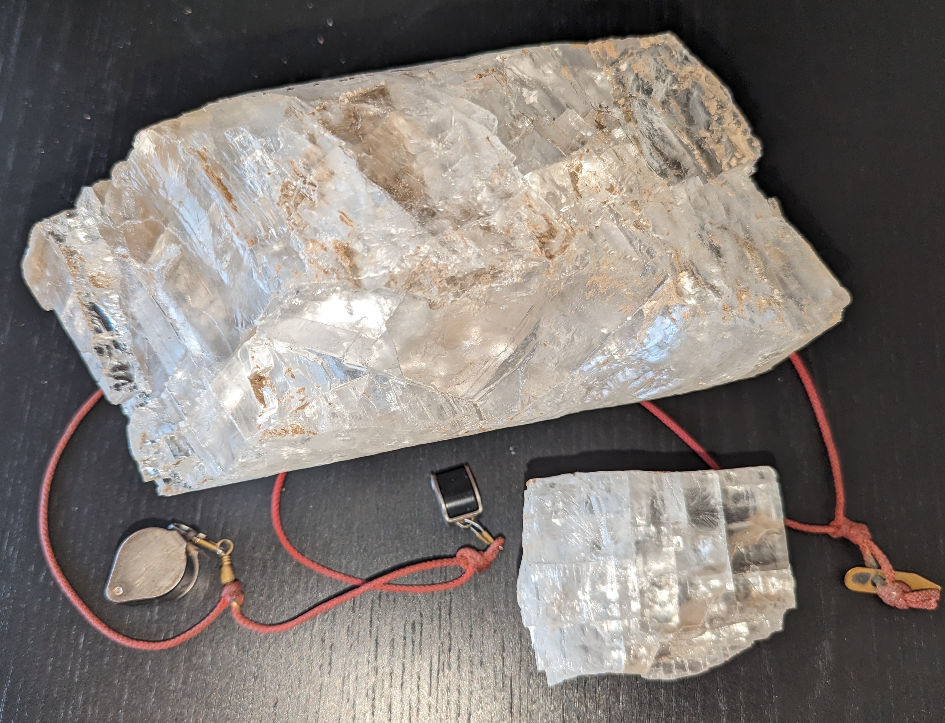 Collaborative Bedded Salt Research to Support Potential H2 and CO2 Geologic Storage in Arizona
Description: AZGS researchers are compiling data on salt cores throughout the state and inputting the data into a new AZ salt core inventory database. Researchers are building working relations with LANL to characterize the samples and learn more about salt research in relation to H2 and CO2 gas storage.
Location: Distributed locations throughout Arizona
Collaborators: Los Alamos National Lab (LANL)
Start & end dates: July 1, 2023 – June 30, 2024
Funding source: University of Arizona’s Technology and Research Initiative Fund
Amount: $49,690
Links: News article
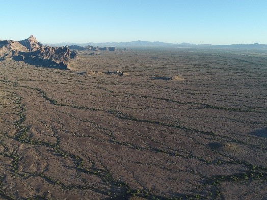
 Subsurface Characterization of the Big Sandy Valley
Description: AZGS researchers will integrate new surficial geologic map data, gravity-based depth-to-bedrock contours, well information, and newly reprocessed 2D seismic to characterize the subsurface through the creation of cross sections throughout the basin. The three-dimensional model will then be created, followed by an accompanying report.
Location: Big Sandy Valley, Mohave County, AZ
Start & end dates: September 20, 2022 – September 19, 2024
Funding source: the STATEMAP component of the National Cooperative Geologic Mapping Program
Amount: $87,483
Publication Links: Report
Active Projects
 Southwest Regional Direct Air Capture Hub
Description: This project aims to develop a Direct Air Capture Hub for removing carbon dioxide (CO2) from the atmosphere located in the Four Corners area of the Southwestern United States. This project will develop engineering studies for anchoring the DAC systems, develop an infrastructure plan to transport the carbon to the sequestration sites, and develop a storage plan for the three sites that could support at least 12 years of carbon capture. The Arizona Geological Survey will provide technical support for the subsurface characterization at the site in northeastern Arizona.
Location: Four Corners area in Arizona, New Mexico, and Utah
Collaborators (AZ storage): Arizona State University, New Mexico Tech, Proton Green, The University of Utah
Start & end dates: October 1, 2024 -September 30, 2026
Funding source: U.S. Department of Energy
Subaward amount: $59,848
Link: project website
Image credit: from the SW Regional DAC Hub project site (link above)
Carbon Capture Utilization and Storage Partnership (CUSP): Four Corners Regional Initiative
Description: The overall objective is to implement a regional initiative to accelerate deployment of Carbon Capture Utilization and Storage (CCUS) within the Four Corners region, United States. This project will provide technical and engagement support for stakeholders within the Four Corners region to develop a framework to accelerate the establishment of Carbon Management Hub. Arizona
Location: Four Corners area in Arizona, New Mexico, and Colorado
Collaborators: New Mexico Tech, Arizona State University, University of New Mexico, Los Alamos National Lab, Sandia National Lab, contractors and 7 industry partners
Start & end dates: October 1, 2024 - September 30, 2026
Funding source: U.S. Department of Energy
Subaward amount: $250,376
 Distributed Mafic Rock Resources for CO2 Mineralization in Arizona
Description: This project evaluates the CO2 mineralization reactivity from a variety of young scoria (cinder) cones and lava flows throughout the state. A Mafic Materials Resource Inventory (MMRI) will be created to house discrete datasets of physical and hydrologic rock properties, mafic rock geochemistry, water quality, water source, current land use, land accessibility, available rock volume, and, most importantly, CO2 mineralization reactivity. MMRI data will be coupled with a new Direct Air Capture to Mineralization (DACM) system model to help advance the commercialization of CO2 removal and utilization on a local scale.
Location: Distributed locations throughout Arizona
Collaborators: Northern Arizona University & Arizona State University
Start & end dates: July 1, 2023 – June 30, 2025
Funding source: U.S. Department of Energy
Total award amount: $1,169,245
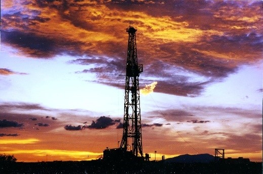 Arizona Orphaned Oil and Gas Well Program - Data Preservation Project
Description: AZGS is providing data preservation services to AZOGCC to support their orphaned well program.
Location: Distributed locations throughout Arizona
Collaborators: Arizona Oil and Gas Conservation Commission (AZOGCC) and Arizona Department of Environmental Quality (ADEQ)
Start & end dates: 2022 - 2025
Funding source: U.S. Department of the Interior through AZOGCC
Awarded amount: $600,000
 Statewide Evaluation of CO2 Geologic Storage Potential
Description: This study will evaluate new potential targets and augment and refine existing storage targets for Carbon Capture Utilization and Storage (CCUS). As part of AZGS and CUSP efforts, subsurface data will be utilized for a machine-readable, open-access regional database with vetted, high-quality subsurface geology, infrastructure, industrial, and relatable databases for reservoir characterization to inform decision-making by stakeholders in the oil and gas industry, regulators, federal, state, and tribal governments.
Location: Distributed throughout Arizona
Collaborators: Carbon Utilization and Storage Partnership (CUSP) West
Start & end dates: 10/1/2019 – 9/30/2025
Funding source: U.S. Department of Energy through CUSP West
Subaward amount: $318,837