Primary tabs
AZGS at 3rd Annual North American Symposium on Landslides – “Slip Slidin’ Away”*

Ann Youberg, Senior Research Scientist who oversees the AZGS geologic hazards group, will be participating in the North American Symposium on Landslides in Roanoke, Virginia, next week. The symposium theme is ‘Landslides: Putting Experience, Knowledge and Emerging Technologies into Practice’. The conference runs from 4-8 June; additional information at 2017 NASL.
From the NASL conference page, ‘The main objective of the symposium is to provide a stimulating forum for geoscientists, engineers, planners, economists, program managers, and other decision makers concerned with landslide hazards and their impact on society.’
More than 25 sponsors from industry, science societies, and academia, stepped forward to support the 4-day conference, including: Assn. of Environmental & Engineering Geologists, Geological Society of America, Virginia Tech, Virginia Dept. of Mines, Minerals and Energy, BETA, Canadian Geotechnical Society, International Assn. for Engineering and the Environment, and the Transportation Research Board, among others.
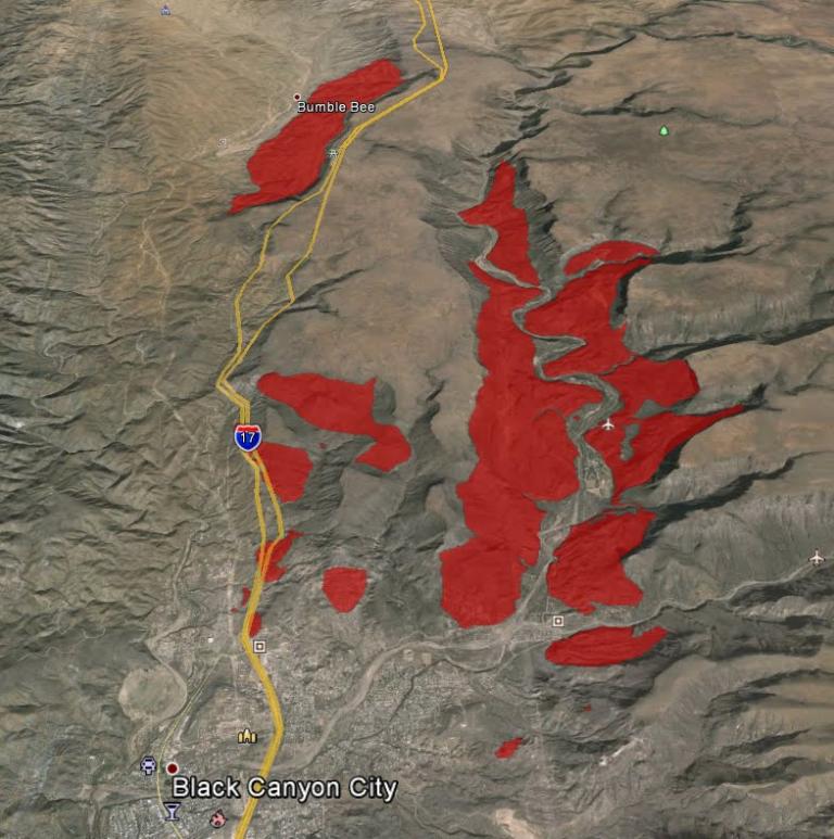
AZGS Role. Ann Youberg will be describing the new statewide landslide database – AzSLID – that AZGS staff have been developing. AZGS’s Joe Cook and Ann Youberg combed geologic maps of Arizona to identify mapped landslides. They then used Google Earth and other aerial imagery to identify hundreds of unmapped landslides, culminating in a database characterizing more than 6,000 landslide features.
From Ann Youberg’s presentation at 2017 NASL, ‘Landslides in Arizona are an under-appreciated geologic hazard. Prior to this project, the nature and extent of landslides was limited to an incomplete array of geologic maps and reports. To address this knowledge and data gap, the AZGS initiated a Landslides Hazards Program. Working with our partner agency, the Arizona Division of Emergency and Military Affairs (DEMA), we compiled the first comprehensive landslide inventory for the State of Arizona.’
These data should inform land management decision-making by state, tribal, county, and municipal authorities and should benefit the emergency management community in their efforts to communicate landslide hazards and risk to their stakeholders and constituents.
Next Steps for AzSLID. Later this summer, in conjunction with our state partners, notably Arizona Dept. of Emergency Management and Military Affairs, we’ll launch the AzSLID data at the interactive Natural Hazards in Arizona Viewer. Where it joins thematic data for earth fissures, earthquake epicenters and Quaternary faults, floods, and wildfires.
*”Slip Slidin’ Away” courtesy of Paul Simon (1982).

